ON LAND
Let the trees tell you
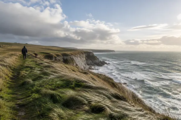
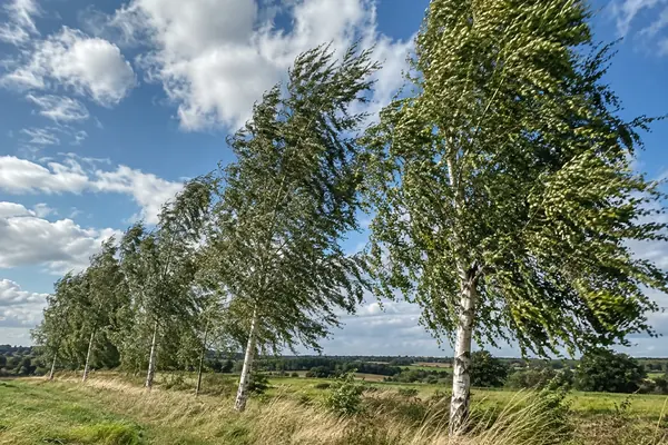
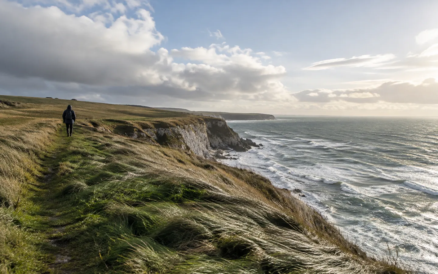
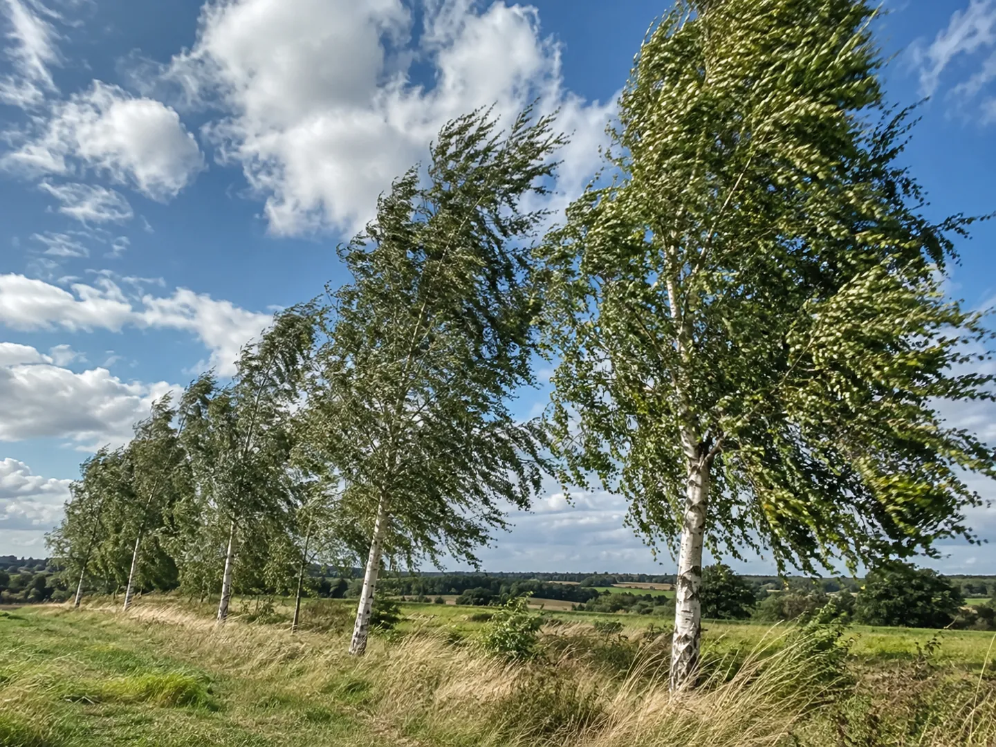
Leaves rustle at force 2, small branches move at force 4, and whole trees are in motion at force 7, a near gale, when walking into the wind gets harder.
Check what you seeTHE BEAUFORT SCALE
You can tell how hard it is blowing without any instruments.
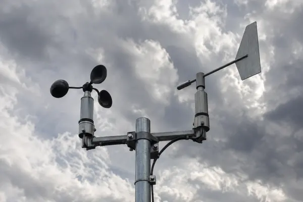
The Beaufort scale links wind speed to things anyone can see: smoke, leaves, branches and whole trees on land, and ripples, white horses and foam at sea. It runs from force 0, calm, to force 12, hurricane.
FORCE 0–12 from calm to hurricane
THE SHORT ANSWER
The scale describes likely sights on land and at sea.
Each force has a band of speeds behind it.
ON LAND
Leaves rustle at force 2, small branches move at force 4, and whole trees are in motion at force 7, a near gale, when walking into the wind gets harder.
Check what you seeMEAN AND GUST
Beaufort speeds are mean speeds, usually averaged over 10 minutes, measured 10 metres above the ground. Gusts can be much stronger than the mean.
See the numbersWHERE YOU STAND
The Met Office says hills, mountains and coasts are windier than low inland areas, because wind speed rises with height and the sea causes less friction than land.
Why it variesA QUICK WIND CHECK
Pick the sight that best matches what you can see to find the Beaufort force. The bar shows how strong that wind is on the scale.
Based on the Royal Meteorological Society's Beaufort scale table of land specifications and mean speeds.
TWO NUMBERS WORTH KNOWING
One figure on wind near the ground,
one on how hard the UK wind has ever blown.
50–70%
Wind at 2 metres compared with the quoted speed
Reported wind speeds are measured 10 metres above the ground. The Royal Meteorological Society says at 2 metres the wind may be only 50 to 70 percent of those figures.
AT HEAD HEIGHT · RMETS
173 mph
Strongest UK gust on record
Recorded at Cairngorm Summit on 20 March 1986. At low level, a gust of 142 mph was recorded at Fraserburgh in Aberdeenshire on 13 February 1989.
UK RECORD · MET OFFICE
The Met Office says most of the UK's highest recorded gusts have come in winter, the windiest time of year, when the jet stream tends to track further south.
FOUR WAYS TO READ THE WIND
The Beaufort scale was built for people without instruments. These habits help you match what you see to what the forecast says.
Leaves, small branches, large branches and whole trees each mark a step up the scale.
Smoke drift shows direction at force 1, and light flags are extended at force 3.
Beaufort speeds are averages. Expect gusts to be stronger than the mean figure in a forecast.
Hill tops and coasts are usually windier than sheltered, low-lying inland spots.
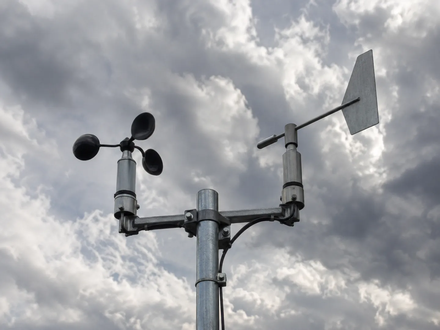
WHY THE WIND BLOWS
The Met Office explains wind as air in motion between areas of different pressure. Where air sinks, surface pressure is higher; where it rises, it is lower, and air flows to even out the difference.
The Earth's rotation deflects that flow to the right in the northern hemisphere, which gives the UK its prevailing west to south-westerly winds. That is also why the north and west of the UK are usually the windiest parts.
Questions
It was devised in 1805 by the Irish hydrographer Francis Beaufort, a Royal Navy officer, building on earlier work by others. It was adopted officially in the 1830s, when Beaufort was Hydrographer of the Navy.
Yes. The Met Office uses it in its marine forecasts, where it describes wind intensity based on observed sea conditions.
On the Beaufort scale a gale is force 8, with mean winds of about 39 to 46 mph. Storm is force 10, about 55 to 63 mph, and the table says it is seldom experienced inland.
Quoted wind speeds are measured 10 metres above the ground. The Royal Meteorological Society says at 2 metres the wind may be only 50 to 70 percent of those figures.
Mountain tops, usually in the west. By 1981–2010 average wind speed, the Met Office lists Shetland, Orkney and the Western Isles as the windiest counties.
Sources
ABOUT THIS NAME
doodleblow.com is part of the DoodleSale portfolio. It isn't in an auction right now, but you can ask about leasing it.